
949.777.2000
Employee Portal
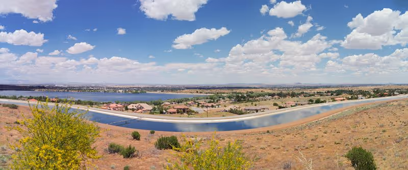
GUIDA provided the MWD with mapping, monumentation, providing topographic surveys, preparing records of surveys, boundary surveys, and easements, and identified MWD easements throughout Southern California. GUIDA surveyed roughly 50 easements, ranging from a couple hundred feet in length, to over a mile. The purpose was to monument existing MWD easements, many dating back to the 1920s, and to identify encroachments into the easements by adjacent landowners. Extensive mapping, records research, and boundary surveys were required to plot correctly and accurately property lines, easements, rights-of-way, and encroachments.
Boundary Surveys
Topographic Surveys
Records of Surveys
We're Here to Help
Have a question or need guidance?
Our team is ready to help.
Or connect with us directly at one of our offices below.
380 State Place
Escondido, CA 92029
4695 Chabot Dr, Suite 115
Pleasanton, CA 94588
3237 E Guasti Rd, Suite 260
Ontario, CA, 91761
220 Commerce, Suite 150
Irvine, CA 92602
550 W. Alluvial Ave, Suite 109
Fresno, CA 93711
900 E. Hamilton Ave, Suite 100
Campbell, CA 95008
949.777.2000